
Catoctin Mountain Range ... Cunningham Falls Park -- Falls Area ...
Old Misery Trail ... Top of Trail
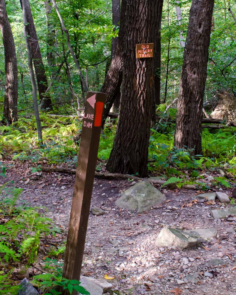
Here you can see a sign for the Old Misery Trail secured to a tree at the top of the trail. There is also a trail post here; when viewed from the Yellow Trail, it indicates that if you go down the Old Misery Trail, marked with orange/red blazes, you will reach the dam and lake.
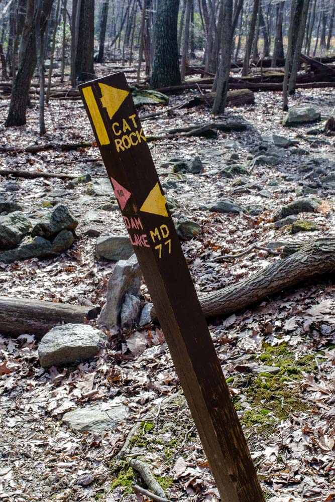
The same trail post at the top of the Old Misery Trail, when viewed from Old Misery Trail, indicates that the Yellow Trail in one direction goes down the hill to MD77 (Foxville Road), but in the other direction goes up the hill to Cat Rock.
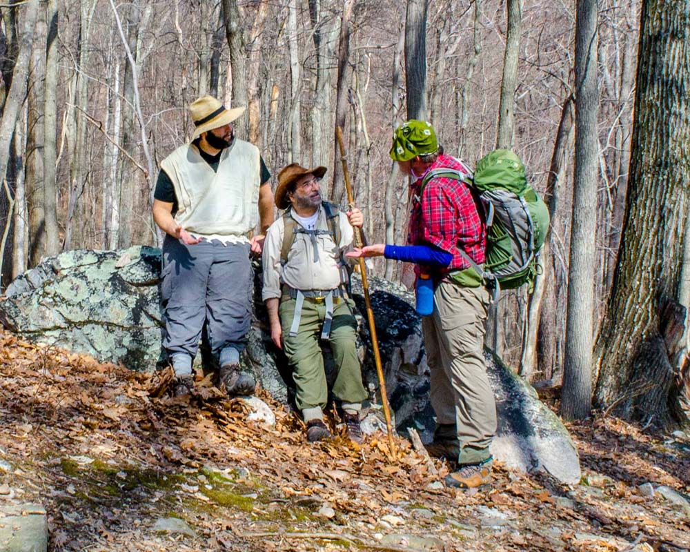
We hiked up the Yellow Trail just a bit up-hill from the top of the Old Misery Trail and stopped to have a conversation. This was in early spring. We were on our way to Cat Rock.